Make the layout easy to read.
Front, rear, overhead and angled views show the relationship between the building, outdoor space and surrounding land.
Give buyers the bigger picture: the property, its setting and the surroundings ground-level photos miss. Edited aerial photography and listing video for residential, commercial and land marketing.
Quote inquiry · Direct with Tim · No booking commitment
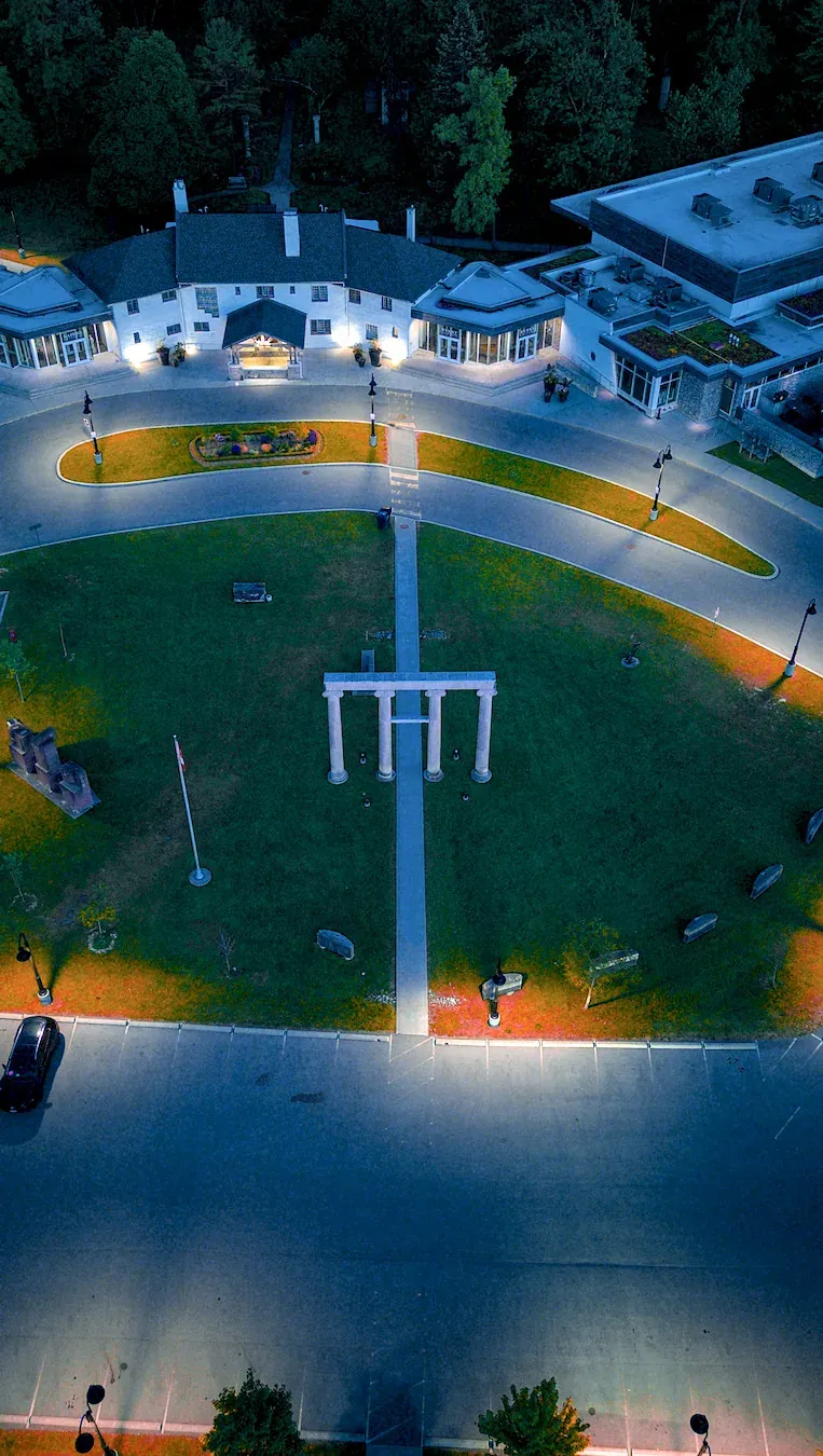
A useful aerial set makes the property easier to understand. The shot list follows the listing's strongest features and where the photos and video will appear.
Front, rear, overhead and angled views show the relationship between the building, outdoor space and surrounding land.
Show access, green space, water or nearby features where those views are relevant and feasible.
Combine edited photos with a listing film or vertical reel. Confirm formats, quantity and delivery before booking.
Help a buyer understand the property before arriving.
Combine clear lot views with useful neighbourhood context.
Edited aerial selects plus a listing video or short clips.
Listing page, brokerage website and social promotion.
The Bluffs edit is a separate aerial sample, not footage from this property example and not FPV.
Property access, address, airspace, weather, travel and exact shot requirements are reviewed before the booking is confirmed.
Send the address, listing date and the features buyers need to understand.
Tim checks the location and recommends a photo or photo-and-video scope.
Receive the agreed edited set by private link for your listing and social channels.
Your quote confirms access, route, operating conditions, usage, price and deliverables. See booking terms for the details.
Starter includes 10 edited photos; Signature includes 15. A photo-only or custom quantity can be quoted.
Yes, when the flight plan and airspace allow it. Useful context may include roads, water, parks or nearby amenities.
Wind, visibility and precipitation are checked before flight. If conditions are not suitable, timing is handled according to the confirmed booking terms.
Send your location and project idea. You will receive a response within one business day with feasibility, next steps and an estimated price.
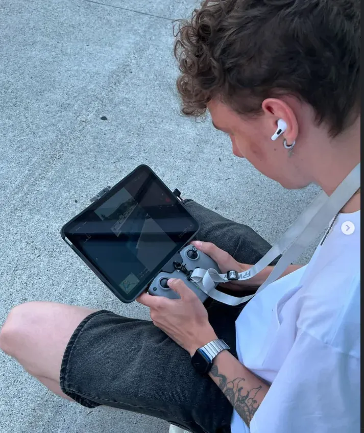
I’m Tim, your drone pilot for Toronto and the GTA. You’ll speak directly with me about your shoot.